| H.Consulate Of The Republic of South Sudan Karachi, Pakistan |
 |
About South Sudan
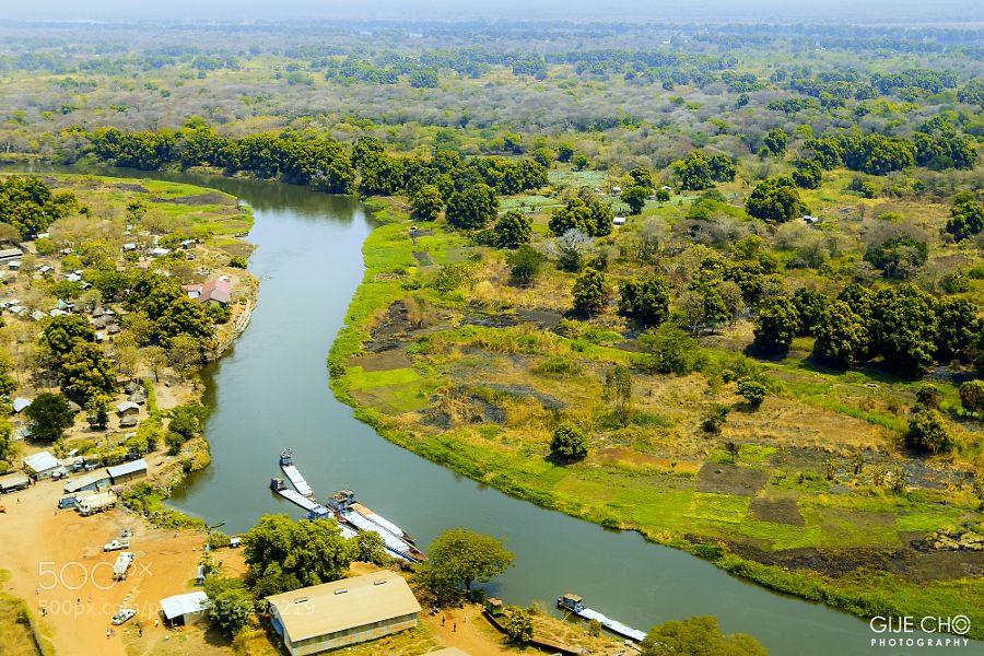
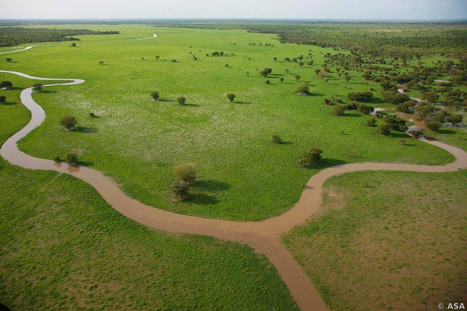
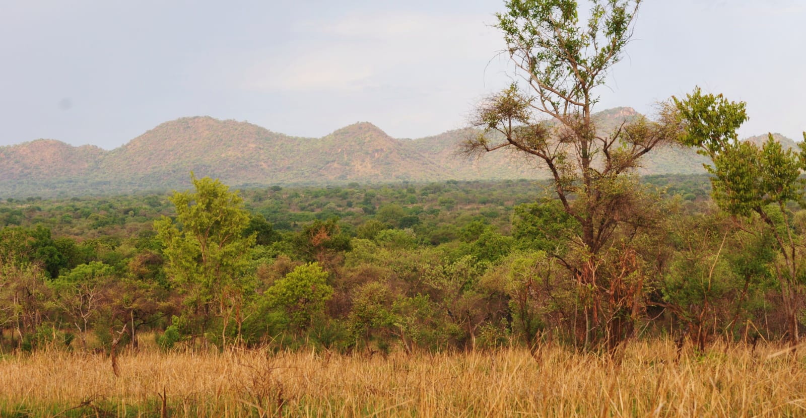
South Sudan is located in East-Central Africa; south of Sudan, north of Uganda and Kenya, west of Ethiopia. Plains in the north and center rise to southern highlands along the border with Uganda and Kenya; the White Nile, flowing north out of the uplands of Central Africa, is the major geographic feature of the country; The Sudd (a name derived from floating vegetation that hinders navigation) is a large swampy area of more than 100,000 sq km fed by the waters of the White Nile that dominates the center of the country South Sudan shares borders with six neighboring countries. In order of shared border length, these are: Sudan (2,158 km), Ethiopia (1,299 km), Central African Republic (1,055 km), Democratic Republic of the Congo (714 km), Uganda (475 km), and Kenya (317 km).
The Dinka is the largest, Nuer the second largest, the Zande the third-largest, and the Bari the fourth-largest of South Sudan's ethnic groups. They are found in the Maridi, Yambio, and Tombura districts in the tropical rainforest belt of Western Equatoria, the Adio of Azande client in Yei, Central Equatoria, and Western Bahr el Ghazal. In the 18th century the Avungara sib rose to power over the rest of Azande society, a domination which continued into the 20th century.[40] British policies favoring Christian missionaries, such as the Closed District Ordinance of 1922 (see History of Anglo-Egyptian Sudan), and geographical barriers such as the swamplands along the White Nile curtailed the spread of Islam to the south, thus allowing the southern tribes to retain much of their social and cultural heritage, as well as their political and religious institutions.
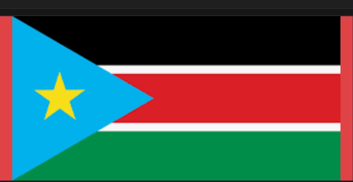
On 9 July 2011, South Sudan became the 54th independent country in Africa[53] (9 July is now celebrated as Independence Day, a national holiday[54]) and since 14 July 2011, South Sudan is the 193rd member of the United Nations.[55] On 27 July 2011, South Sudan became the 54th country to join the African Union.[56][57] In September 2011, Google Maps recognized South Sudan as an independent country, after a massive crowdsourcing mapping initiative was launched.
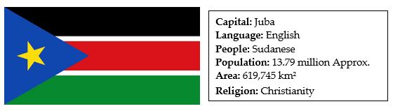
The capital of South Sudan is located at Juba, which is also the state capital of Central Equatoria and the county seat of the eponymous Juba County, and is the country's largest city. However, due to Juba's poor infrastructure and massive urban growth, as well as its lack of centrality within South Sudan, the South Sudanese Government adopted a resolution in February 2011 to study the creation of a new planned city to serve as the seat of government.[82][83] It is planned that the capital city will be changed to the more centrally located Ramciel.[84] This proposal is functionally similar to construction projects in Abuja, Nigeria; Brasília, Brazil; and Canberra, Australia; among other modern-era planned national capitals. It is unclear how the government will fund the project.